Here’s what you need to know:
- 35% of realtors use drones to market properties.
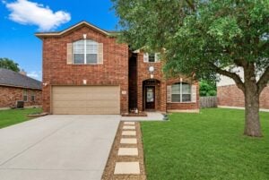
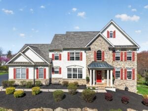
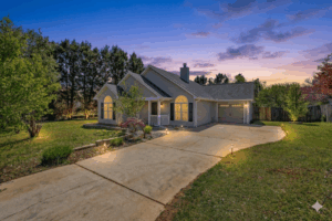
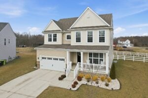
- Listings with aerial photos sell 68% faster.
- Sellers prefer agents who use drones by 83%.
- Free drone software can save you 30% on pre-development costs and reduce site assessment time by 60%.
These tools allow you to:
- Create 3D models for virtual tours.
- Capture high-quality aerial images.
- Map properties and measure areas.
The Top Free Drone Software for Real Estate
- WebODM: Open-source mapping for 3D models and georeferenced maps.
- DJI GS Pro: Automated flight planning (iPad only).
- Pix4Dcapture: Automated image capture with terrain awareness.
- SkyeBrowse: Fast 3D models from video footage.
- Maps Made Easy: Online tool for orthophotos and 3D models.
- Airdata UAV: Drone fleet management and FAA compliance.
Quick Comparison
| Software | Best For | Key Features | Platform |
|---|---|---|---|
| WebODM | Large properties | 3D models, area/volume measurements | Windows, macOS, Linux |
| DJI GS Pro | Consistent listing shots | Automated missions, real-time monitoring | iOS only |
| Pix4Dcapture | Development sites | Terrain awareness, precise mapping | iOS, Android |
| SkyeBrowse | Quick property scans | 3D models from video footage | iOS, Android |
| Maps Made Easy | Rural properties | Cloud processing, map annotations | Web-based |
| Airdata UAV | Multi-property agents | Flight logs, equipment tracking | Web-based |
Actionable Tip: Start small by practicing with open properties and ensure your drone is FAA-compliant. Use these tools to enhance your listings and attract more buyers.
Free Open Source Software For Your Drone Business
1. WebODM
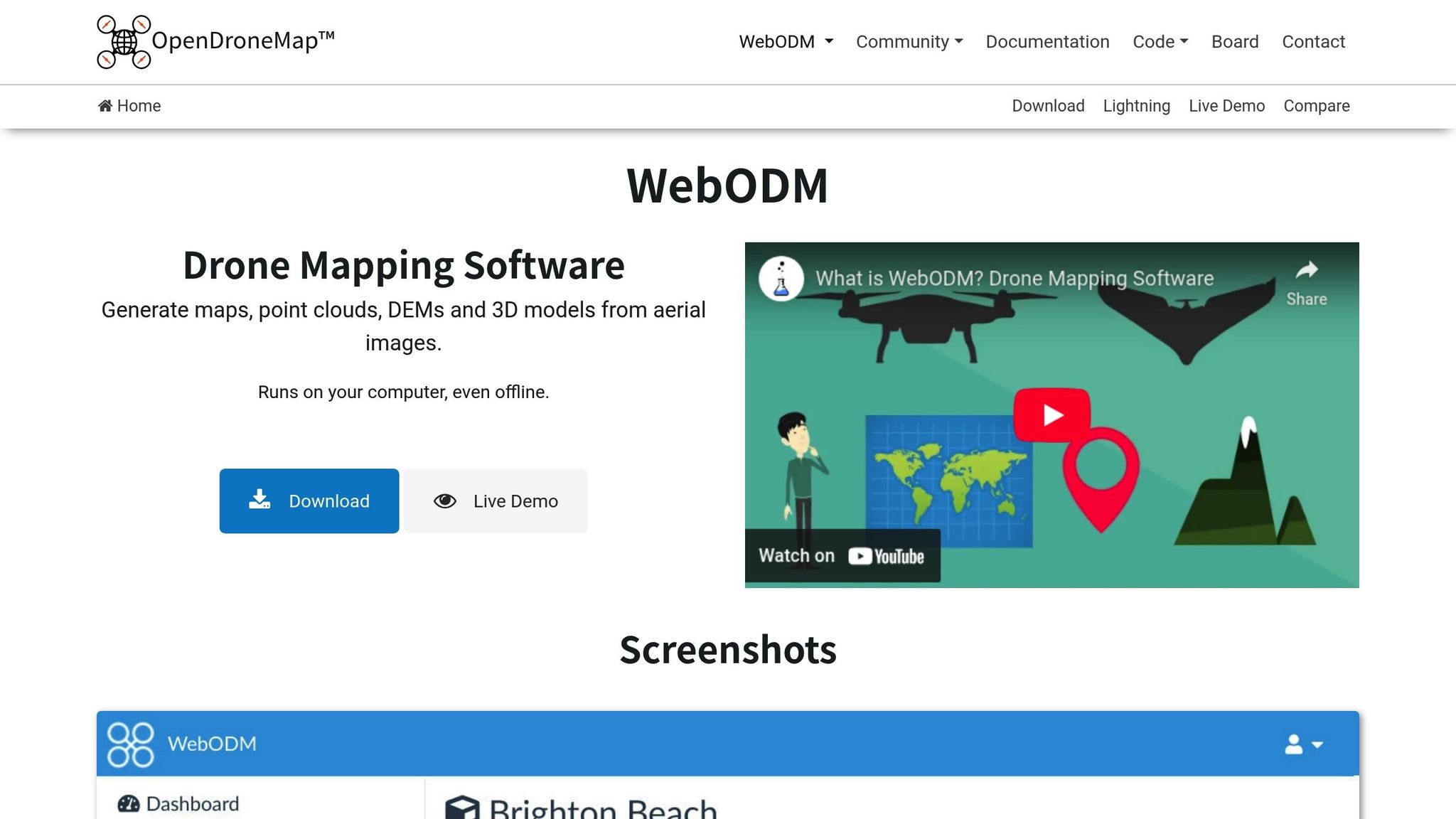
WebODM is an open-source drone mapping tool that turns aerial images into detailed maps, 3D models, and elevation data. Designed with versatility in mind, it allows real estate professionals to create georeferenced orthomosaics, export textured 3D models in formats like .OBJ and OGC 3D Tiles, and perform precise volume and area measurements.
Key Features:
- Generate high-resolution orthomosaic maps with georeferencing.
- Export detailed 3D models in
.OBJand OGC 3D Tiles formats. - Measure volumes and areas for property evaluation.
- Supports over 16 languages for a global user base.
- Process data offline for field flexibility.
- Integrate Ground Control Points (GCPs) to boost mapping accuracy.
These features make WebODM a reliable choice for various real estate mapping tasks. It works seamlessly with images from different devices, making it adaptable to diverse project needs.
Technical Specifications
| Feature | Recommended Settings |
|---|---|
| Urban Scenes | Set --dem-gapfill-steps to 4-5 |
| Accuracy Level | Use GCPs for >97% accuracy |
| File Formats | JPEG, TIFF (8-bit and 16-bit) |
| Processing Mode | Supports online and offline modes |
WebODM stands out with its tools for boundary mapping, area calculations, elevation profiling, and volume assessments. However, weather conditions can affect image quality – flights should be planned during clear or evenly overcast skies. For optimal coverage, drones should fly at 3-4 times the height of the tallest structure in the area.
Export options include high-resolution GeoTIFF, PNG, and AutoCAD-compatible files, making it easy to integrate results into marketing materials or planning documents.
2. DJI GS Pro
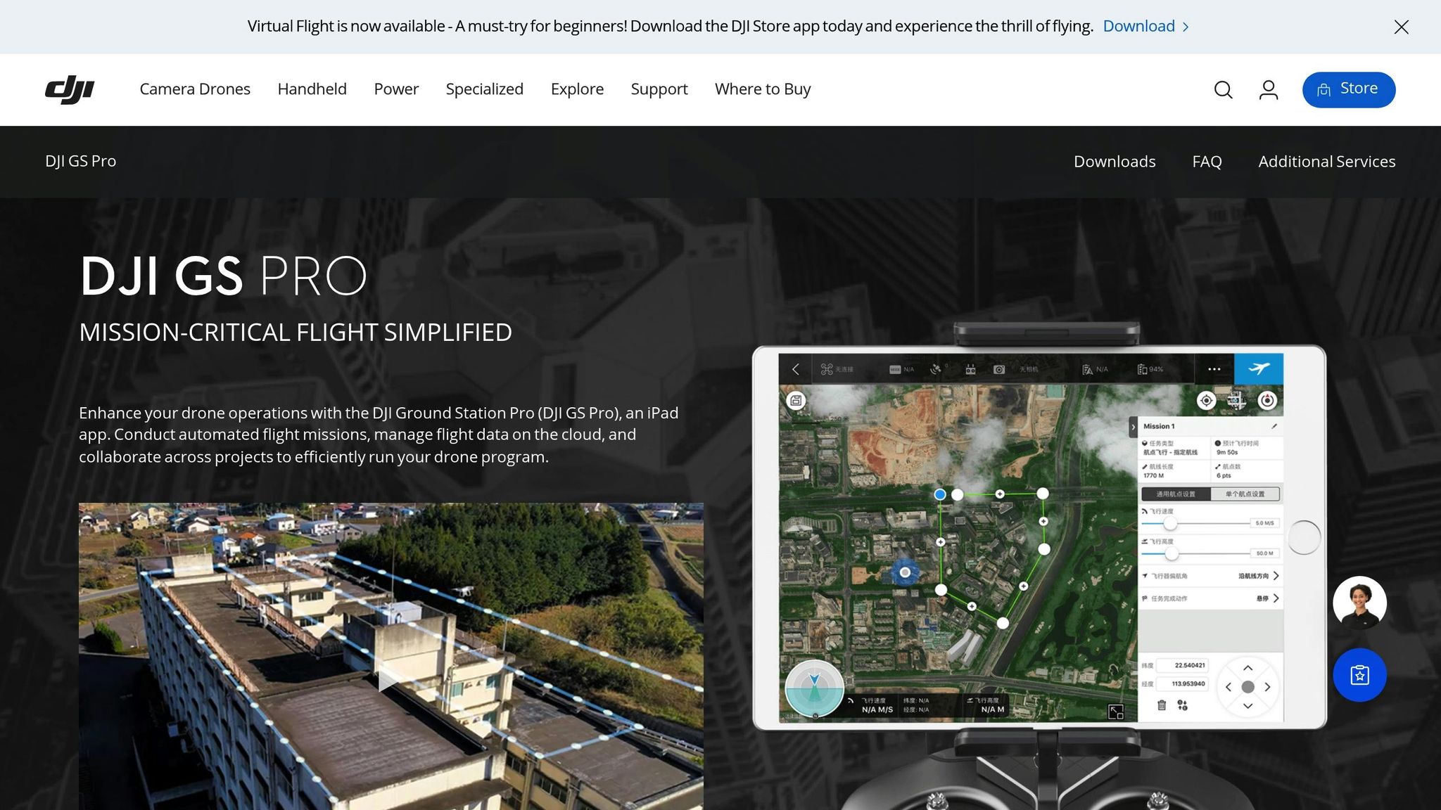
DJI GS Pro is an iPad-exclusive app designed to streamline aerial property photography. With its intuitive 3D interface, it automates flight missions, making it easier to capture high-quality imagery.
Key Features
- Automated flight paths: Customize parameters for tailored missions.
- Real-time monitoring: Track location, altitude, and speed as the drone operates.
- Offline functionality: Use Google 3D maps without an internet connection.
- Cloud storage: Save and access mission data anytime.
- Team collaboration: Share flight plans effortlessly with others.
This app stands out for its ability to fine-tune flight planning with detailed, customizable mission parameters.
Mission Planning Highlights
| Feature | What It Does | Why It Matters |
|---|---|---|
| Route Templates | Preloaded with 6 preset patterns | Speeds up setup for standard property shots |
| Waypoint Control | Adjust height, speed, and position | Ensures precise coverage of key features |
| Camera Programming | Automates shutter control | Delivers consistent, high-quality images |
| Safety Features | Includes auto return-to-home | Protects against signal loss or disruptions |
How It Works
DJI GS Pro integrates multiple sensors – GPS, inertial measurement units, magnetometers, and pressure altimeters – to ensure precise positioning and stable flight paths. This combination guarantees professional-grade imagery, even for complex real estate projects.
Step-by-Step Property Mapping
- Mark the target property area on the 3D map.
- Configure altitude, speed, and overlap settings.
- Adjust camera settings and define mission completion procedures.
- Launch the automated flight path.
- Access mission data through cloud storage.
The app also includes a photogrammetry tool for accurate property mapping and a simulation mode for testing intricate flight plans. Features like "Click and Go" allow quick on-the-fly adjustments, while the Relative Coordinates Editor helps create precise geometric patterns for thorough coverage.
3. Pix4Dcapture
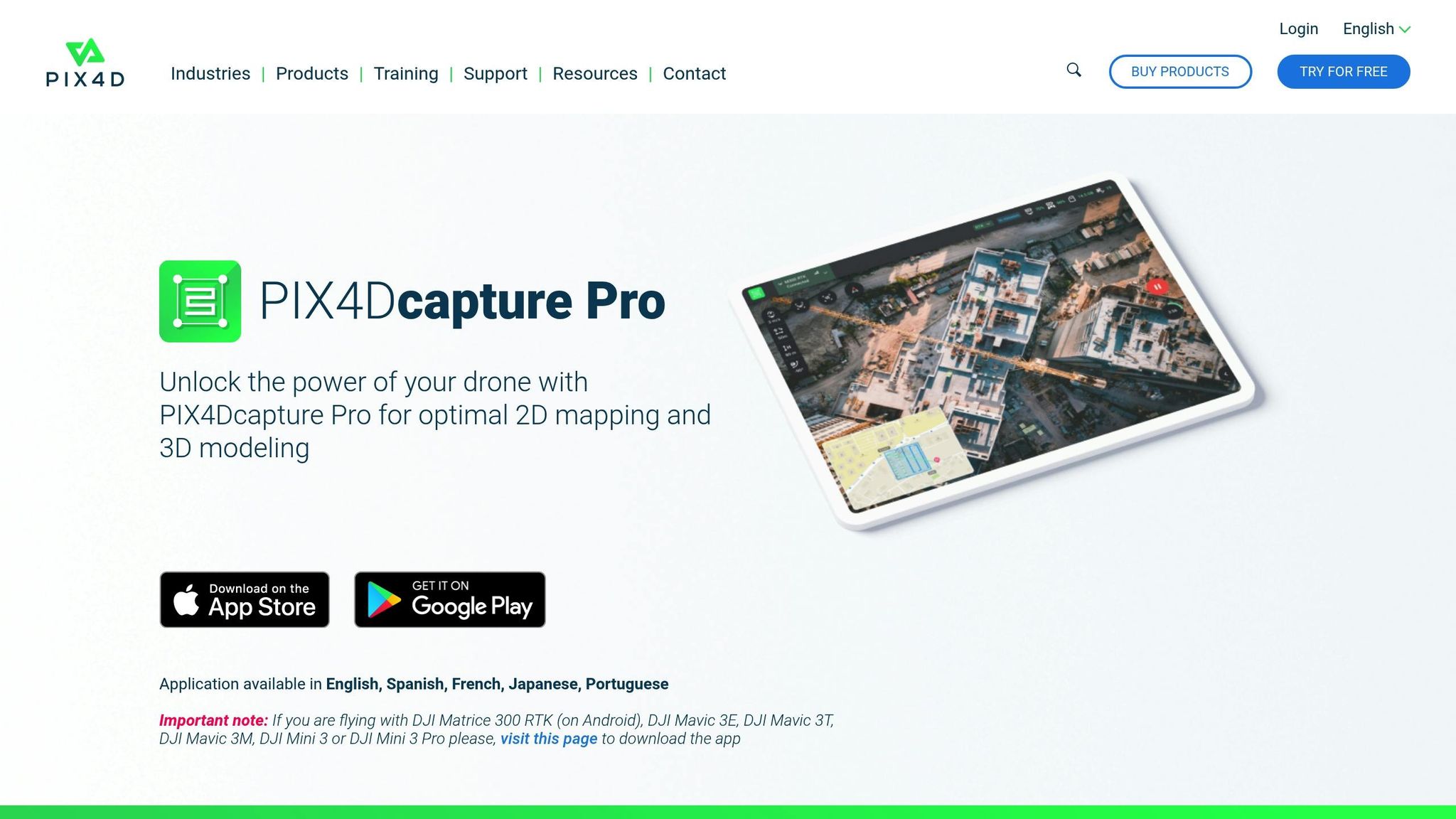
Pix4Dcapture is a mobile app designed to elevate drone photography for real estate professionals. It supports a wide variety of drones and offers tools to automate image capture while improving data accuracy.
Core Capabilities
This app simplifies the creation of detailed 3D property models by automating image capture. Its terrain awareness feature adjusts flight paths to match uneven surfaces, reducing gaps in the data. Plus, with Network RTK support, users can achieve centimeter-level positioning accuracy – critical for precise property documentation.
Compatible Drones
| Drone Series | Supported Models |
|---|---|
| DJI Mavic | Mavic 3M, Mavic 3E, Mavic 3T, Mavic 2 Pro, Mavic 2 Zoom, Mini 3, Mini 3 Pro |
| DJI Phantom | Phantom 4 Pro V2, Phantom 4 Pro, Phantom 4 RTK, Phantom 4 |
| DJI Matrice | Matrice 300 RTK, Matrice 200 Series V2, Matrice 200 Series |
| Parrot | Anafi AI, Anafi USA, Anafi Thermal, Anafi |
Field Operation Features
Pix4Dcapture is built for flexibility, even in remote areas. Its offline mode allows users to:
- Download satellite or street view basemaps.
- Design detailed data acquisition plans.
- Adjust flight parameters to match site conditions.
- Carry out automated flight missions seamlessly.
Professional Workflow Integration
The app’s offline capabilities go hand-in-hand with its specialized flight plans, making it a powerful tool for real estate professionals. It supports grid layouts for full property surveys and orbit missions for capturing exterior views. The captured images can then be uploaded to create 3D models, offering interactive property showcases that enhance listing presentations.
Advanced Planning Tools
Pix4Dcapture’s terrain awareness system takes planning to the next level. By automatically adjusting flight paths based on elevation changes, it ensures consistent image quality across properties with uneven terrain. This feature not only guarantees optimal coverage but also prioritizes safety, making it ideal for large or challenging sites.
4. SkyeBrowse

SkyeBrowse transforms drone footage into interactive 3D models using its proprietary videogrammetry technology, processing data up to 100 times faster than traditional methods.
Core Features
SkyeBrowse can process drone footage into detailed 3D models in just 5–10 minutes. It supports a variety of devices, including:
| Device Type | Compatible Options |
|---|---|
| Drones | DJI Series, Autel Models |
| Cameras | 360° Cameras, Action Cameras |
| Mobile | Smartphones with video recording capabilities |
In addition to its speed, SkyeBrowse includes tools designed to create more engaging real estate presentations.
Real Estate Applications
SkyeBrowse offers a streamlined and cost-effective way to improve property listings by:
- Interactive Walkthroughs: Create immersive 3D tours showcasing both the interior and exterior of properties.
- Measurement Tools: Premium users can measure property dimensions with precision, accurate to within 0.25 inches.
- Browser-Based Access: Clients can view and explore models directly in standard web browsers, no additional software required.
Interior Mapping Capabilities
When it comes to documenting indoor spaces, SkyeBrowse includes several specialized features:
- Capture Options: Record interior footage using a 360° camera or a DJI Avata drone.
- Universal Upload: Use the Scale Tool to process footage without georeferencing, ensuring accurate measurements.
- Export Features: Create top-down 2D sketches saved as JPG or PNG files for easy sharing and reference.
Free Plan Features
The free version of SkyeBrowse includes:
- A limit of two active models at a time
- 30-day storage for archived models
- Basic resolution for outputs
- Standard measurement tools
- Web-based sharing for created models
For users needing more advanced features, paid options are available starting at about $3 per model, with subscription plans for frequent users.
sbb-itb-82c5f45
5. Maps Made Easy
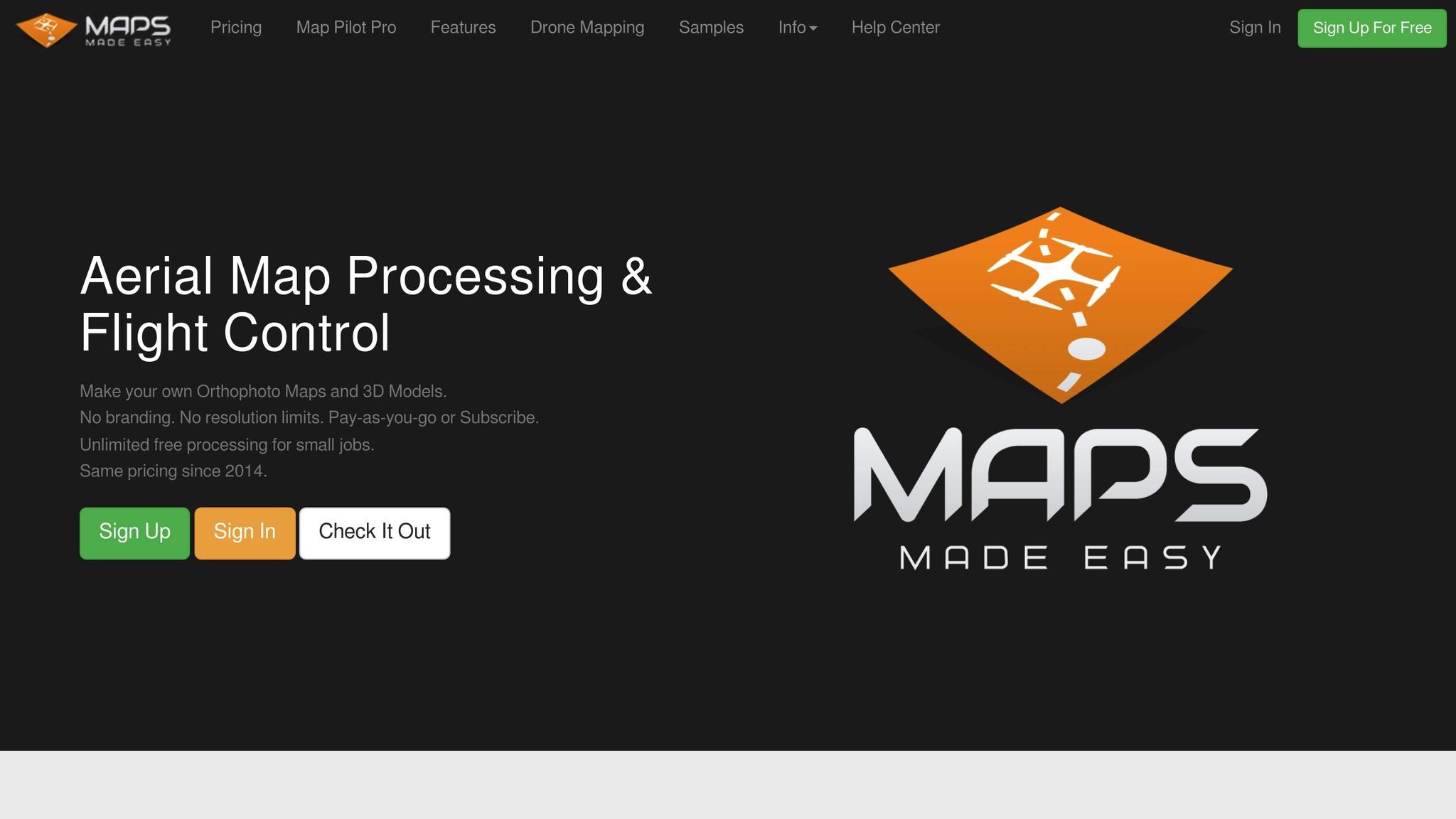
Maps Made Easy (MME) is an online tool designed to transform aerial images into orthophotos and 3D models. With its user-friendly interface, it enables real estate professionals to create detailed property visualizations without needing advanced technical expertise.
Key Features
MME stands out by offering tools that make property presentations more engaging and precise:
| Feature | What It Does |
|---|---|
| Processing Capacity | Handles up to 5,000 images per project, ensuring large-scale capabilities. |
| Integration | Works seamlessly with GIS systems and supports standard export formats. |
| Customization | Allows for tailored map designs and unique themes. |
| Data Visualization | Includes options like heatmaps, markers, and clustering for better insights. |
| Sharing Options | Offers direct links, social media sharing, and website embedding. |
Mapping Tools and Flexibility
MME combines advanced mapping features with versatile integrations, making it a powerful tool for real estate professionals:
- Annotation Tools: Add property measurements directly onto maps for precise visualizations.
- Interactive Elements: Embed photos, videos, or 360-degree tours to enhance listings.
- Neighborhood Context: Highlight nearby amenities and points of interest to showcase local appeal.
- API Support: Easily integrate MME with real estate websites for a seamless user experience.
- Embed Features: Incorporate interactive maps into property listing pages for added value.
- Google Maps Integration: Provide detailed location context and navigation options.
Free Account Perks
New users can explore MME’s capabilities with a free account, which includes:
- A 15-day trial of the Pro-tier features.
- Processing up to 3 gigapixels of data.
- Unlimited processing for smaller projects.
These features offer a great starting point for real estate professionals looking to enhance their property presentations.
How Real Estate Professionals Benefit
MME empowers agents to take control of mapping quality and timing, eliminating reliance on outdated satellite imagery. For the best results, agents can pair MME with the Map Pilot Pro app, ensuring high-quality data collection tailored to their specific needs.
6. Airdata UAV

Airdata UAV is a drone fleet management platform designed to optimize equipment performance and ensure regulatory compliance. With over 13 million flights processed worldwide, it’s a trusted tool for drone operators.
Core Features for Real Estate
The free version of Airdata UAV is ideal for managing up to three drones, offering essential features tailored to real estate needs:
| Feature | How It Helps in Real Estate |
|---|---|
| Flight Logging | Automatically captures and analyzes flight data for better oversight. |
| Battery Management | Keeps tabs on battery health and usage cycles to avoid downtime. |
| Maintenance Alerts | Sends timely notifications for equipment checks and servicing. |
| Basic Analytics | Tracks drone performance and usage trends for improved efficiency. |
| Compliance Tools | Creates FAA-compliant documentation with minimal effort. |
Automated Management System
Airdata UAV simplifies drone management by automatically collecting and analyzing flight data. For DJI drone users, flight logs are uploaded and analyzed in real time, giving you instant insights into equipment performance.
Equipment Health Monitoring
A standout feature of Airdata UAV is its robust maintenance tracking system. By monitoring key metrics – like flight hours, battery cycles, and component usage – the platform helps identify potential issues before they lead to costly failures. This proactive approach not only ensures smooth operations but also keeps you in line with regulatory requirements.
Simplifying Compliance
For U.S.-based drone operators, maintaining FAA compliance can be a headache. Airdata UAV takes care of this by automatically generating detailed flight reports, maintenance logs, pilot records, and airspace usage documentation. With over 33,000 flights processed daily across 210+ countries, it’s a platform built on reliability.
Getting Started
Real estate professionals can dive into Airdata UAV by signing up for a free account, which supports unlimited flight logs for up to three drones. The platform’s user-friendly interface makes it easy to start tracking your drone operations right away. Plus, with mobile apps available for iOS and Android, you can access critical data anytime, anywhere.
For individual agents or small teams using drones to market properties, the free version offers everything needed to run efficient and reliable operations.
Software Features Comparison
This feature comparison provides real estate professionals with a clear guide to choosing the right software for their needs. Below, you’ll find a breakdown of core features, compatibility, output formats, processing capabilities, and ease of use.
Core Features and Compatibility
The table below highlights the main functionalities, drone compatibility, and platform support for each software:
| Software | Primary Features | Drone Compatibility | Platform Support |
|---|---|---|---|
| WebODM | Open-source photogrammetry, 2D/3D modeling, API integration | Most drone brands with geotagged images | Windows, macOS, Linux |
| DJI GS Pro | Automated flight planning, Mission storage, Cloud backup | DJI drones only | iOS only |
| Pix4Dcapture | Custom flight paths, Real-time mapping, Cloud processing | Major DJI models | iOS, Android |
| SkyeBrowse | Rapid 3D modeling, Video walkthroughs, Quick processing | Select DJI drones | iOS, Android |
| Maps Made Easy | Cloud processing, Map annotation, Site analysis | Most drone models | Web-based |
| Airdata UAV | Flight logging, Compliance tools, Equipment tracking | Most major brands | Web-based |
Output Formats and Processing
Each tool offers unique output capabilities tailored to various real estate marketing needs. Here’s a comparison of their output formats, processing speeds, and any limitations in their free versions:
| Software | Output Formats | Processing Speed | Free Version Limits |
|---|---|---|---|
| WebODM | Orthomosaics (GeoTIFF), 3D models (OBJ), Point clouds (LAS) | Hardware-based | Unlimited processing |
| DJI GS Pro | Flight logs, JPEG images, KML files | Real-time | Full features included |
| Pix4Dcapture | 2D maps, 3D models, GeoTIFF exports | Cloud | Flight planning only |
| SkyeBrowse | 3D models (OBJ, GLB), Video tours | Minutes | Limited credits |
| Maps Made Easy | Orthomosaics, 3D models, Annotated maps | Cloud | Limited credits |
| Airdata UAV | Flight logs (CSV), Compliance reports, KML files | Real-time | Up to 3 drones |
Ease of Use Assessment
Ease of use is a key factor when integrating these tools into real estate workflows. Most options, including DJI GS Pro, Pix4Dcapture, SkyeBrowse, Maps Made Easy, and Airdata UAV, are designed with user-friendly mobile or web interfaces. However, WebODM, being open-source, requires a more technical setup and may not be as straightforward for beginners.
Real Estate-Specific Benefits
Each software offers unique advantages tailored to real estate professionals. Here’s a summary of how they can enhance your real estate marketing efforts:
| Software | Best For | Key Real Estate Advantage |
|---|---|---|
| WebODM | Large properties | Complete data ownership and customization |
| DJI GS Pro | Consistent listing shots | Repeatable automated missions |
| Pix4Dcapture | Development sites | Precise mapping capabilities |
| SkyeBrowse | Quick property scans | Fast 3D model generation |
| Maps Made Easy | Rural properties | Detailed terrain analysis |
| Airdata UAV | Multi-property agents | FAA compliance management |
This comparison equips you with the information needed to choose the best free drone software for enhancing your real estate marketing strategy.
Next Steps
Start incorporating free drone software into your listings while understanding when it’s time to bring in professional services.
Initial Setup and Compliance
Before you begin, make sure you’re set up correctly and following all regulations:
- Obtain your FAA Part 107 Remote Pilot Certificate: This certification is required to legally operate drones for commercial purposes.
- Register your drone with the FAA: Ensure your drone is properly registered before flying.
- Check drone compatibility with your chosen software: Not all drones work seamlessly with every platform, so verify compatibility.
- Review local airspace restrictions and privacy laws: Stay informed about no-fly zones and privacy regulations in your area.
Implementation Strategy
Start small to build confidence and skills. Open residential properties are great for practicing automated flight paths and capturing high-quality images. Once you’re comfortable, you can refine your technique using these practical optimization tips.
Optimize Your Drone Operations
To get the best results, keep these tips in mind:
- Fly during optimal lighting conditions: Early mornings or late afternoons provide softer, more flattering light.
- Adjust exposure settings appropriately: Fine-tune your camera settings for sharp, well-lit images.
- Stay organized: Use a systematic approach to label and store your content for easy access later.
- Keep your software updated: Regular updates ensure compatibility and access to the latest features.
When to Consider Professional Services
Sometimes, the complexity of a project or the level of quality required calls for expert help. HomeJab offers professional drone photography services tailored for:
- High-end luxury properties
- Complex commercial real estate projects
- Tight deadlines requiring 24-hour turnarounds
- Advanced editing and post-production needs
- Full-service marketing packages
"HomeJab’s photographers always do a wonderful job! This time, Mr. Vincent did drone fly over and still photography that showed my listing beautifully!" – Betsy Moston, HomeJab Customer
Measuring Success
To determine whether drone software is making a difference, track these key metrics:
| Metric | What to Monitor | Success Indicators |
|---|---|---|
| Listing Views | Weekly view counts | Higher engagement compared to listings without drones |
| Time on Market | Days from listing to sale | Shorter time on the market versus the local average |
| Buyer Feedback | Comments on visual content | Positive remarks about aerial images and videos |
| Lead Generation | Volume of inquiries from listings | Increased contact rates from potential buyers |
FAQs
How can free drone software tools improve my real estate marketing?
How Free Drone Software Can Boost Real Estate Marketing
Free drone software can take your real estate marketing to the next level by enabling you to create eye-catching aerial photos, videos, and even interactive property tours. These tools give you the ability to capture views of properties that are impossible to achieve from the ground, helping your listings grab attention and leave a lasting impression on potential buyers.
Using drone imagery in your marketing lets you showcase properties in a way that highlights their best features – whether it’s a beautifully landscaped yard, a unique architectural design, or proximity to local amenities. It’s a powerful way to stand out in a crowded market. For those looking for a professional touch, services like HomeJab offer aerial photography with quick turnaround times, giving your listings an extra edge.
What should I consider when selecting drone software for my real estate business?
When choosing drone software for your real estate business, prioritize tools that streamline your workflow, elevate property visuals, and help you save on costs. Key features to consider include aerial mapping, robust editing tools, and seamless integration with the systems you already use.
For a hands-off approach, services like HomeJab can make things even easier. They specialize in delivering high-quality aerial photography, video tours, and other media designed specifically for real estate listings. With quick turnaround times and visually striking content, these services can help you present properties in the best possible light.
Do I need any certifications or need to meet legal requirements to use drones for real estate photography?
Yes, operating drones for real estate purposes in the United States comes with specific legal requirements and certifications. The Federal Aviation Administration (FAA) mandates that drone operators obtain a Part 107 Remote Pilot Certificate for any commercial use, including real estate photography. To earn this certification, you’ll need to pass a knowledge test that covers topics like airspace rules, weather conditions, and drone safety procedures.
In addition to certification, drones weighing between 0.55 lbs and 55 lbs must be registered with the FAA. It’s also crucial to check local and state regulations, as some areas may impose additional restrictions on drone operations. Staying up-to-date and compliant with these rules not only ensures smooth operations but also helps you avoid potential fines or legal complications.