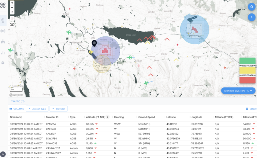
Flying a drone for real estate or commercial photography means more than just good piloting. Every shoot requires a quick airspace check to confirm where you can fly, where you can’t, and whether authorization is required.
The FAA’s B4UFLY system is the standard for this, but in 2026 it’s no longer a single app. Instead, the FAA delivers B4UFLY data through several approved providers, all of which are free to use and regularly updated.
Below are the best free, FAA-approved options photographers can use today.
What is B4UFLY?
B4UFLY is the FAA’s official airspace awareness service for drone pilots. It shows:
-
Controlled vs uncontrolled airspace
-
Temporary Flight Restrictions (TFRs)
-
Advisories near airports, heliports, and sensitive areas
-
Whether LAANC authorization may be required
If you’re flying commercially under Part 107, checking B4UFLY data before every flight is essential.
Recommended Free Apps for 2026
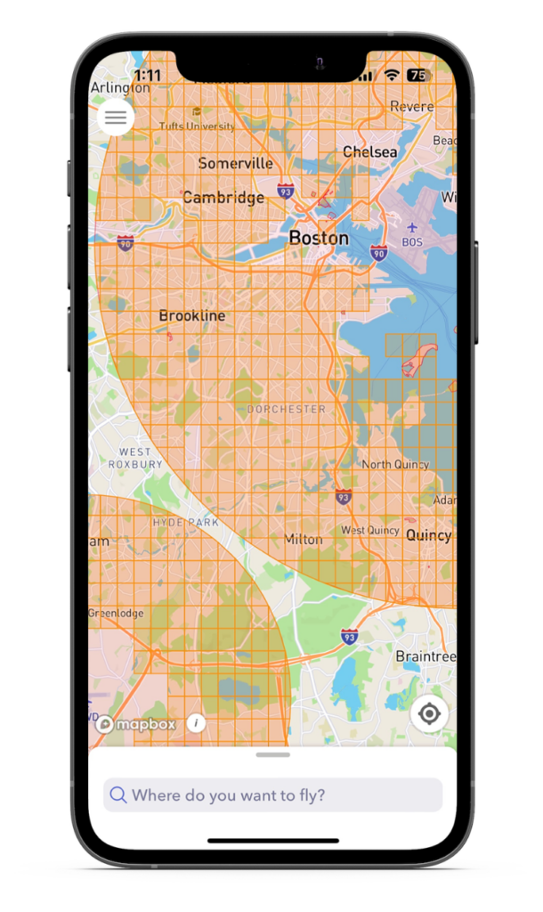
Aloft – Air Aware (Top Recommendation)
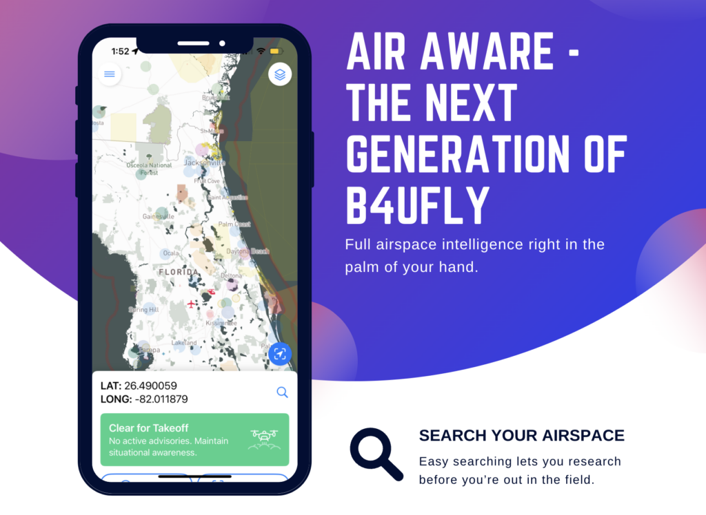
Best all-around option for photographers
Aloft (formerly Kittyhawk) is one of the FAA’s approved B4UFLY service providers. Its Air Aware app delivers clear, reliable airspace information without unnecessary complexity.
Why photographers like it
-
Free and FAA-approved
-
Clean “can I fly here?” view
-
Accurate TFR and airspace data
-
Works on iOS and Android
-
Scales easily to LAANC authorizations via Aloft Air Control
Best for: Photographers who want a reliable default app that works for both simple and complex locations.
AutoPylot
Great alternative with extra tools
AutoPylot provides FAA-approved B4UFLY airspace awareness along with weather, checklists, and flight planning tools.
Why photographers use it
-
Free B4UFLY access
-
LAANC available when needed
-
Helpful weather overlays
-
No login required for basic checks
Best for: Pilots who want airspace + weather + planning in one app.
Airspace Link
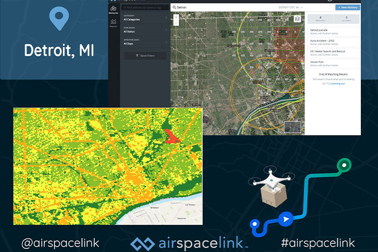
Simple and straightforward
Airspace Link focuses on delivering FAA airspace data clearly, without extra features.
Why photographers use it
-
Free and FAA-approved
-
Fast airspace checks
-
Minimal interface
Best for: Pilots who want the fastest possible airspace check.
UASidekick

Flexible with optional upgrades
UASidekick provides free B4UFLY airspace awareness with optional planning and compliance tools.
Why photographers use it
-
Free airspace data
-
Good for Part 107 pilots
-
Optional advanced features
Best for: Pilots who may want more compliance tools later.
Avision

Commercial-leaning but free
Avision offers B4UFLY data and LAANC authorizations in one platform.
Best for: Pilots who regularly fly in controlled airspace.
What About the FAA’s Original B4UFLY App?
The FAA’s standalone B4UFLY app is still free, but many pilots find third-party FAA-approved apps more reliable and easier to use, especially near airports or in complex airspace.
Our Recommendation
For most photographers, the simplest approach is:
-
Primary app: Aloft Air Aware
-
If LAANC authorization is needed: Aloft Air Control
This combination covers nearly every real-world shoot, from suburban homes to properties near controlled airspace.
Final Tip for Drone Shoots
No matter which app you use:
-
Always check airspace before arriving on site
-
Recheck if weather or timing changes
-
Save screenshots or logs when flying near controlled airspace
Airspace awareness protects you, your client, and your business.