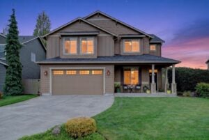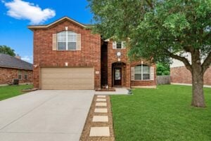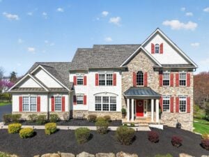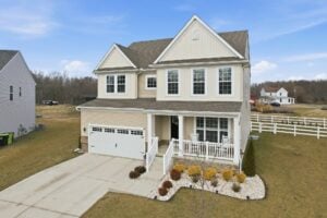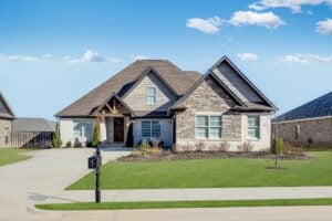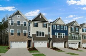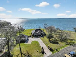
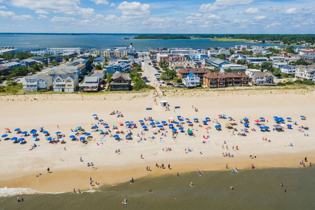
Aerial drone real estate photography helps to sell homes
Many home buyers these days are searching for real estate outside of their current location. What this means is, people are looking for more information so they can make better informed decisions before visiting the home. Drone technology effectively gives every consumer a handheld tour of the property’s exterior and the entire neighborhood. As a result, buyers can see potential problems right away. This makes for more efficient home shopping and gives agents who provide aerial drone real estate photography a distinct advantage.
The FAA allows commercial use of aerial photography
In the past, the FAA has sent out mixed messages regarding the use of drone equipment for commercial purposes. Now, it is clear that selling drone services is legal as long as the company abides by common sense regulations. For example, to fly drones commercially, service providers need to file a 333 exemption with the FAA and follow the following rules:
- Max altitude of 400 feet
- Pilot must have a visual line of sight on the drone at all times
- Must fly during daylight hours only.
- Max velocity of 100 mph
- Must yield to manned aircraft
- Do not fly over people
- Must not fly from a moving vehicle
There are also areas where drones are strictly prohibited. These include sports stadiums and any locations within five miles of an airport.
New drone equipment makes producing aerials affordable
Just a few years ago, real estate agents would spend big bucks renting helicopters for aerial photos. Today, drone real estate photography pricing starts at around $200, or about the cost of regular photography. Therefore, agents and homeowners from all types of properties can afford aerial drone real estate photography.
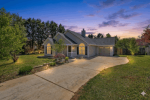
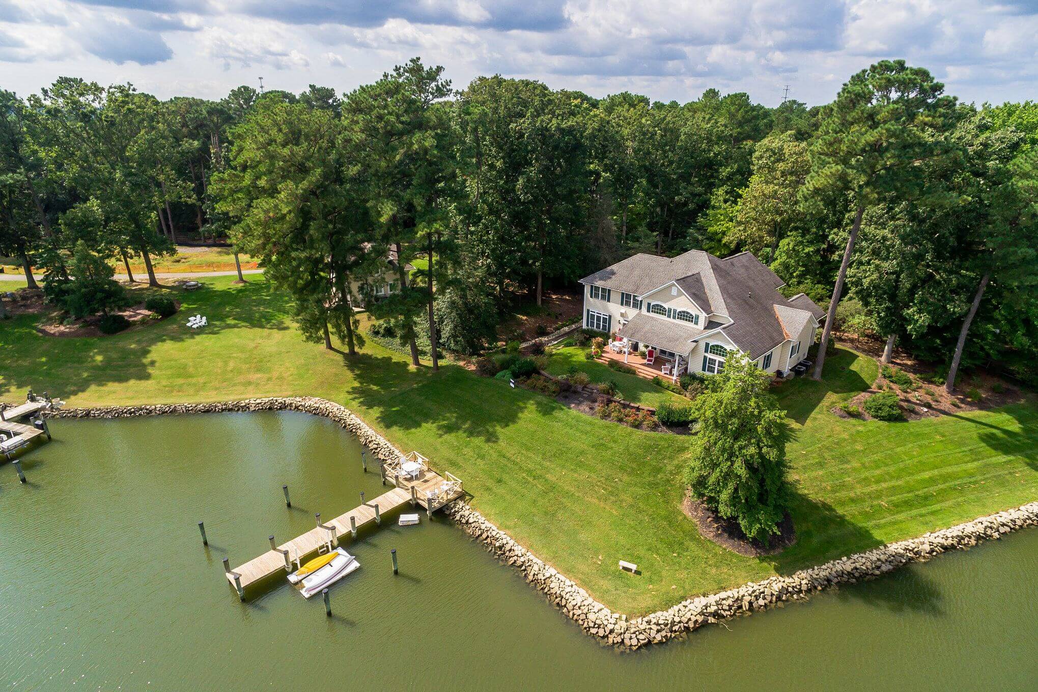
Not your father’s aerial photos
Aerial photos used to consist of a top down view of the home’s roof and yard. As a result, it was very hard to determine spatial relationships. With drones, photographers can capture a property from all angles. For example, the shot can begin on the ground, then transition up the front yard at roof height maneuvering over the home to the other side and back. The flight path is so flexible that insurance companies are using drones to help determine the extent of roof damage. Furthermore, some of the most dramatic aerial drone shots involve flying near ground level. At 6-10 feet high, a drone can fly up the driveway for a perfect POV entrance shot.
Aerial photography is here to stay
Drones are already flying all over the sky in a variety of applications including law enforcement, meteorology and delivery services. In 2016, the FAA issued more than 500 approvals per month and started using summary grants to speed up the process. A study by the Association for Unmanned Vehicle Systems International (AUVSI) estimates that the aerial drone industry will generate more than $13.6 billion and create 70,000 new jobs within the next three years. Of course, the growth of aerial drone real estate photography has not been without controversy. Many privacy advocates have voiced concerns resulting in local ordinances. Hence, real estate photographers would be best served by, no pun intended, rising above those who give drones a bad name and sticking with a strict code of ethics and safety.