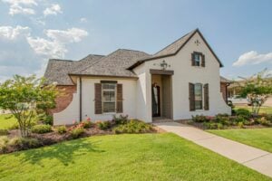
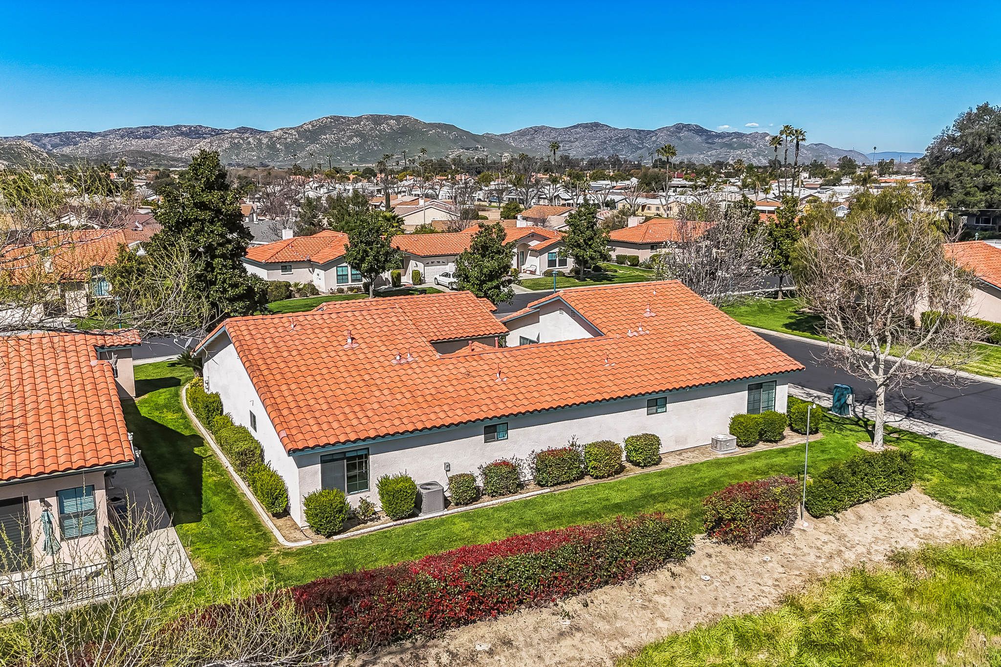
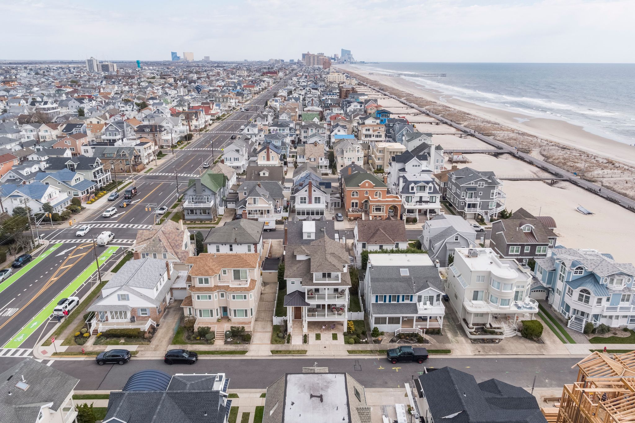
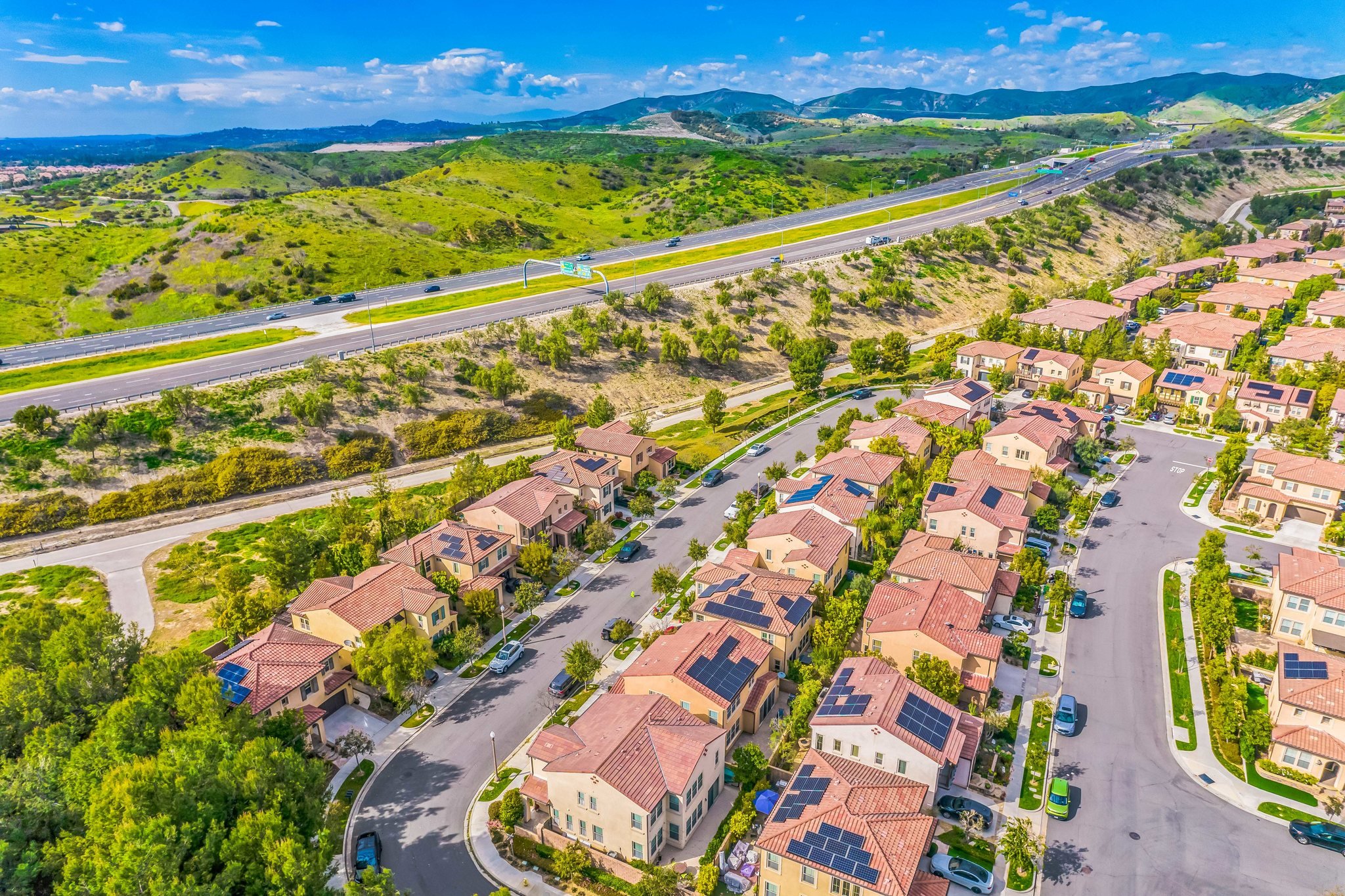
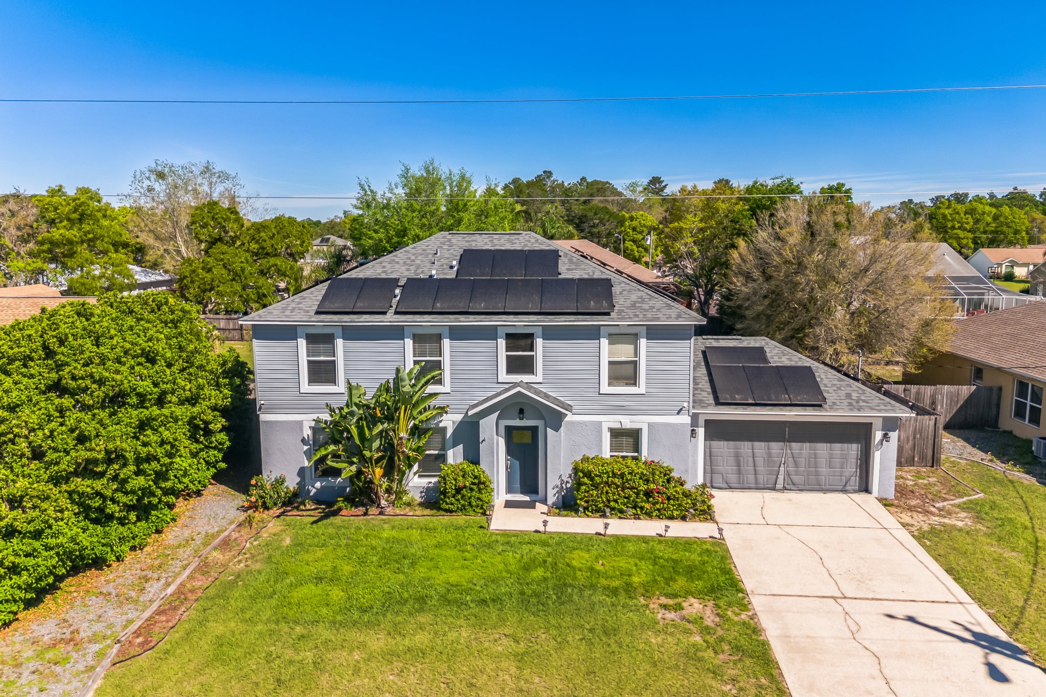
Whether you’re looking to enhance your property’s appeal for sales or rental marketing, an aerial view can offer a unique perspective that captures the entirety of your property and its surroundings in a single, striking image.
HomeJab, a leading name in real estate photography, is here to revolutionize the way you present your property with our comprehensive drone photography services available across all 50 states and Canada.
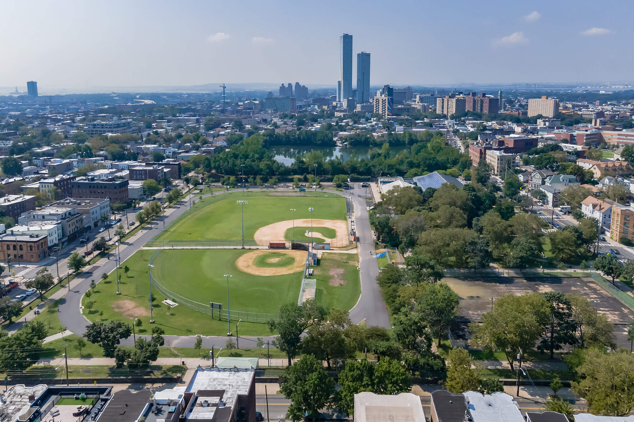
Why Choose an Aerial View?
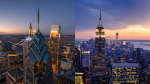
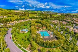
An aerial view of your property does more than just showcase the land. It provides a comprehensive look at the entire area, including proximity to downtown locations, bodies of water, parks, and other areas of interest.
This not only makes your listing more informative but also elevates its perceived value by highlighting the property’s luxurious and coveted aspects. Our aerial photos package, affordably priced at just $229, includes up to 15 high-quality photos taken from various angles to ensure that your property stands out in the crowded online marketplace.
The Luxury of Aerial Photography at an Accessible Price
Contrary to popular belief, achieving a cinematic and high-value appearance for your property doesn’t have to break the bank. With HomeJab, you can add an air of luxury to your property listings through stunning drone videos that make your video content appear more cinematic and high-budget, all for an additional $60.
For a total of $289, you receive 15 professional photos and a 1-2 minute drone video, making your property not only more attractive but also more memorable to potential buyers or renters.
Beyond the Basics: FPV Drone Videos and Customization
For larger properties or those requiring a more dynamic presentation, HomeJab offers FPV (First Person View) drone videos. This service provides a unique flythrough experience, capturing long-distance footage that adds an unparalleled level of engagement and detail to your property listing.
Additionally, we can customize your aerial photos by adding property lines, enhancing the marketing appeal and providing clear boundaries to potential buyers.
The HomeJab Advantage: Certified Expertise and On-Demand Scheduling
HomeJab distinguishes itself with a team of FAA-certified drone pilots, ensuring that every aerial photo and video adheres to the highest standards of safety and professionalism. This certification is crucial, reflecting our commitment to providing not only stunning visual content but also peace of mind for our clients.
Why Drone Photography Outshines Satellite Imagery
While satellite shots from providers like Google Earth are an alternative, they often fall short due to outdated imagery, lack of close-up shots, and the inability to control the angle and timing of the shot.
In contrast, drone photography offers flexibility, cinematic quality, and the ability to capture high-resolution drone videos and photos. Plus, with HomeJab’s on-demand scheduling, you can book a session with just 24 hours’ notice, ensuring that you capture your property in the best possible conditions.
In conclusion, elevating your real estate listings with aerial views has never been easier, more accessible, or more affordable. HomeJab’s extensive network of certified drone operators and our commitment to quality and convenience make us the premier choice for real estate professionals looking to make a lasting impression.
Visit HomeJab today to schedule your aerial photography session and transform the way you showcase your properties.